坡度 Gradient
教學指引
以下示範如何以 ARGEO Portable 教導坡度單元。
The following demonstration shows the teaching procedures of Gradient by using ARGEO Portable.
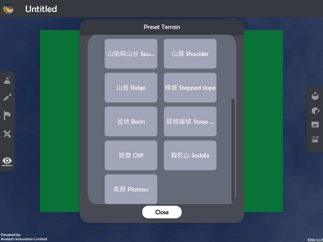
選擇一個有斜坡的「預設地形 (Preset Terrain)
 」或使用「地形塑造
  」功能建設一個斜坡,以下以「陡坡緩坡Steep slope Gentle slope」為例子。
Select a slope from “Preset Terrain
” or use “Terrain Modifying ” function to form a slope. The following example is “陡坡緩坡Steep slope Gentle slope”.
使用「標記工具
 」在斜坡上標記兩點並寫上正確的高度。
Apply“Labelling Tools
”to mark two points on the slope and state the correct height.
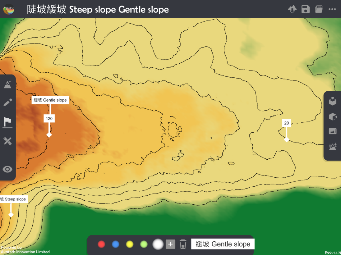
老師可以使用「環境調整  」調校垂直間距。
Teacher can apply “Environment Option ”to adjuct the vertical interva
計算兩點的垂直距離。
Calculate the vertical distance of two objects.
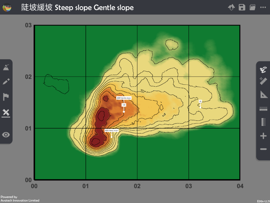
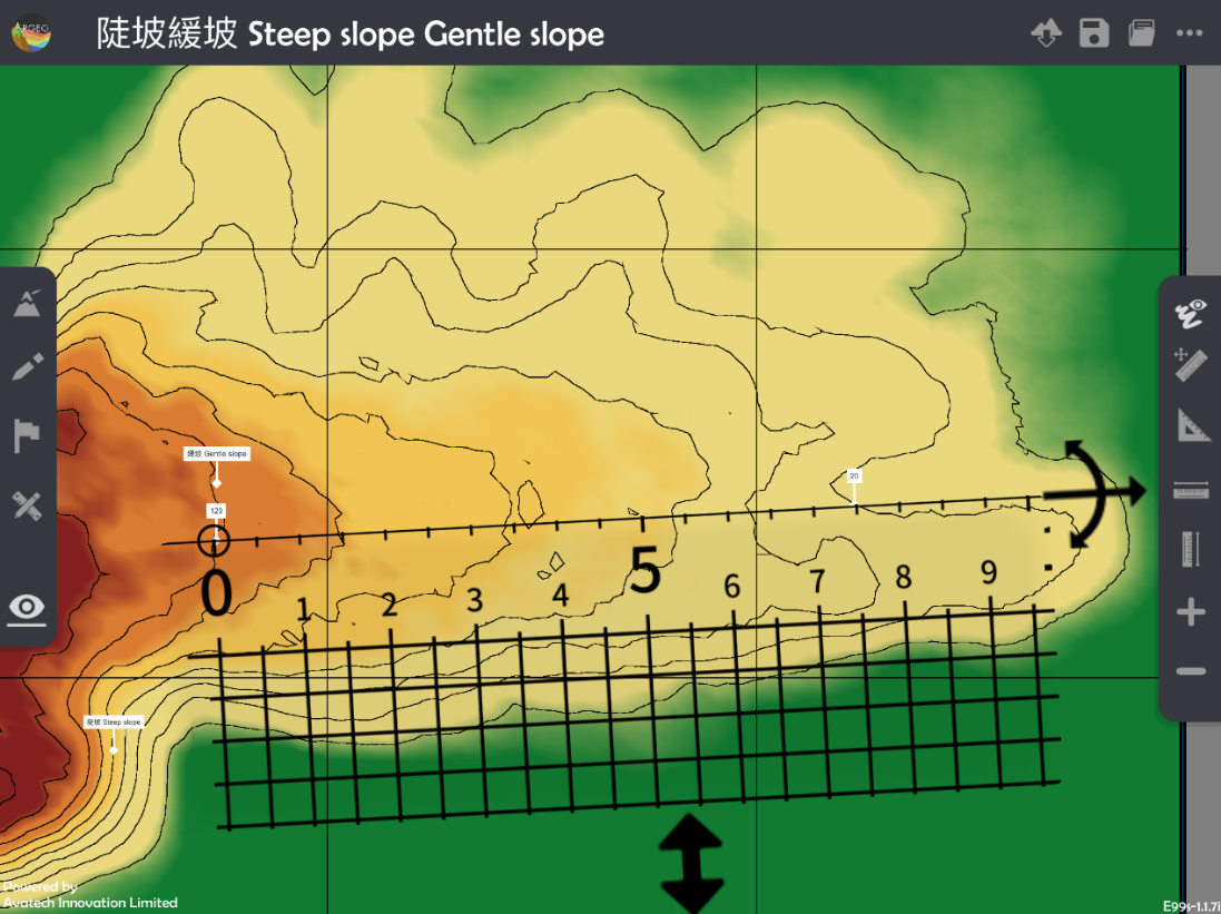
使用「地圖介面
 」。
」。Apply “Map View
「.
按「呼喚直尺
 」以顯示直尺在熒幕上。
Apply “Get Ruler
” to show the ruler on the screen.
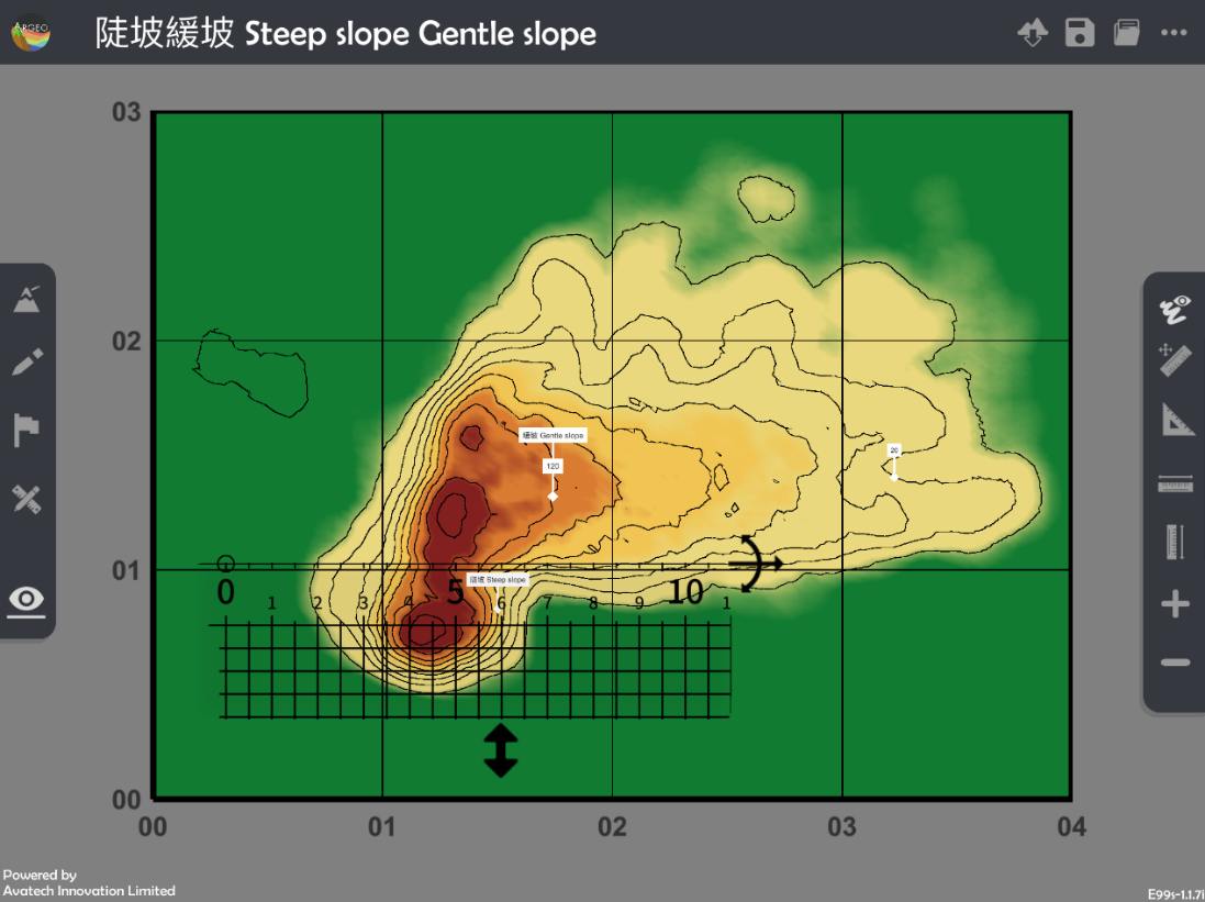
放置和調校直尺在兩點標記上以量度直線水平距離。
Place and adjust the ruler on the objects to measure the straight-line horizontal distance.
計算坡度。
Calculate the gradient.
下載教學資源
教學指引 按此下載
工作紙及答案(中文版) 按此下載
工作紙及答案(英文版) 按此下載